Geography: The Canada / United States Border
This is our fourth study session (March 31, 2021). Session at our home, and then Easter egg painting. Note, all links open a new tab in your browser.
Review
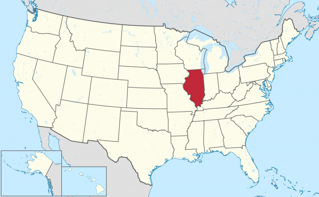
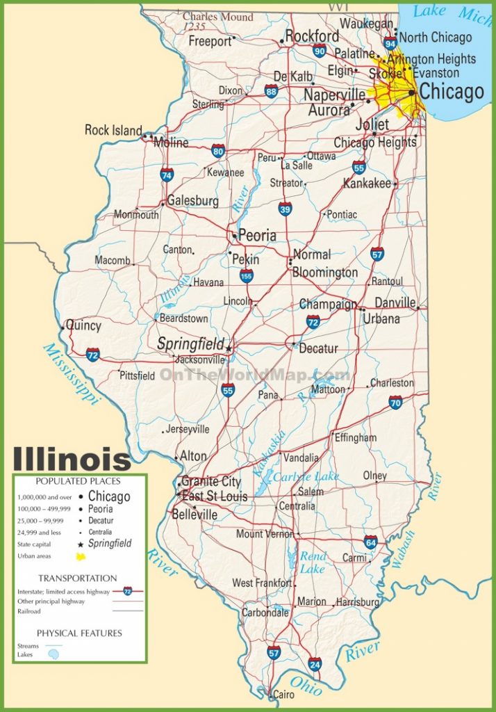
- Tell me about Illinois..
- What is the capital city? And the biggest city?
This is the start of the new lesson.
The Canada/U.S. Border
A border is a line that divides two countries. A person or goods usually have to pass through “immigration” and “customs” checks before they are allowed across. The citizens and residents of Canada and the U.S. have very different laws, taxes, and expectations from their governments.
Let’s begin to get good at visualizing the border between the two countries. It’s length, shape, and which provinces and states face each other across the border.
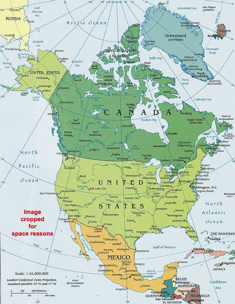
THE Canada / United States border runs from the Atlantic Ocean west all the way to the Pacific Ocean. So our border runs across the entire continent.
It is the longest international border in the world between two countries. It runs 8,891 kilometers (5,525 mi) long. The border has two parts: Canada’s border with the contiguous U.S. to its south, and Canada’s border with the U.S. state of Alaska in the Northwest.
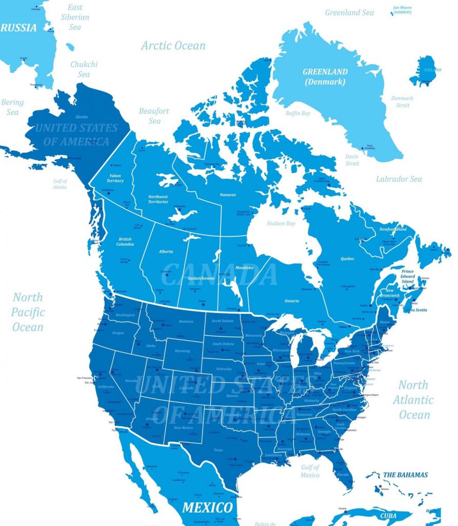
1. BORDER PROVINCES:
Please identify the provinces that do and don’t border the U.S. directly. Please write them down and send to me.
2. BORDER STATES:
Please identify the states that border Canada directly. Please write them down and send to me.
Let’s spend the next few weeks getting to know those provinces and states!
REVIEW …
Illinois/Chicago Review